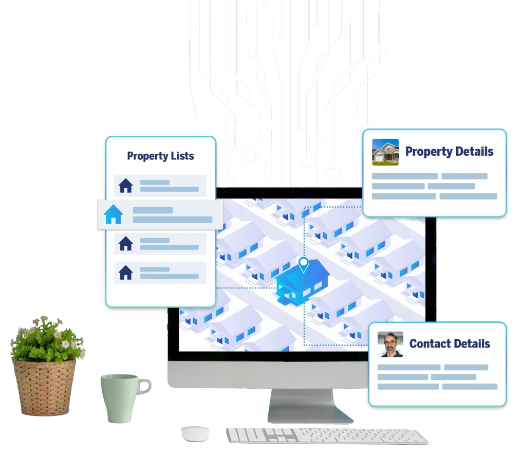
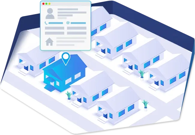
We make
geocoding
fast and painless
We convert address data into geocodes (Latitude and longitude coordinates) and geocodes into precise address locations (reverse geocodes).
HOW
WE HELP COMPANIES
Precision
Get precisely plotted coordinates to improve logistics and decrease shipping costs.Location Services
Power retail store location and local search lookups to increase customer satisfaction and ease of shopping.Efficiency
Analyze address and customer location data to improve marketing strategies.Why BatchData Geocoding Solution?
Real-time Geocoding
Improve business intelligence and location accuracy with our fast, easy to use APIs and online interfaces. (coming soon)Flexible Delivery Solutions
We make it easy to process data using our robust APIs or easy to use online interfaces. (coming soon )Batch Geocoding API
Whether 1 or 100 million addresses, get bulk results quickly through our API.Data Enrichment
Looking to append missing data to your list? We can help!CLOSE ENOUGH ISN'T GOOD ENOUGH
BatchData geocoding solutions offer the highest level of geocoding in the industry. We help companies convert address data into geocodes (latitude and longitude) which allows for proper marker placement on maps and geospatial applications. We offer several levels of data quality ranging from the zip code level all the way to rooftop geocoding (most accurate).
ZIP Code Geocoding
This is the broadest range geocoding available. It maps the location of a zip code and helps determine geographical location and city boundaries. This level of geocoding is primarily used for USPS sorting and geographically-based marketing campaigns.
ZIP+4 Geocoding
This is the next level of accuracy and a lot more precise than the broad ZIP Code Geocoding. It is also referred to as block-level accuracy. ZIP+4 typically includes an area of about 10-20 homes and/or locations. This level of geocoding helps companies get more accurate mapping locations for better visualization and data analysis.
Parcel Centroid Geocoding
This is one one of the most widely used geocoding services available. It is what most companies offer as their best and highest-tier level of accuracy. The data at this level is calculated based on the center of the parcel. This level of accuracy gives businesses and data analytics companies a much more precise parcel-level data accuracy.
Rooftop Geo Coding
There’s geocoding accuracy and there’s BatchData Geocoding accuracy. This is the highest level of geocoding accuracy available. It is the cream of the crop. The very best there is. Rooftop level geocoding translates address data into the highest level precision latitude and longitude data available.
BatchData allows businesses and organizations to identify not only the parcel, but the center of the rooftop of the building. This is the ideal solution for companies with any type of risk exposure such as the insurance industry that need to determine the true distance to flood zones and other high risk proximities.
Reverse Geo Coding
The opposite of regular geocoding. Reverse geocoding takes the latitude and longitude as an input, and converts it into a mappable, deliverable address. Reverse geocoding can be utilized by many businesses and industries, some of which include:
- Software platforms – that use mapping technologies to pin-point an address.
- First responders – know exactly where to send help based on GPS coordinate data.
- Marketing Companies – send real-time push notifications to mobile audiences based on their GPS location.
- Government & Healthcare – Public safety tracking such as Covid-19 tracker tools